Drone LiDAR vs Drone Photogrammetry

The Two Best Ways To Capture Data
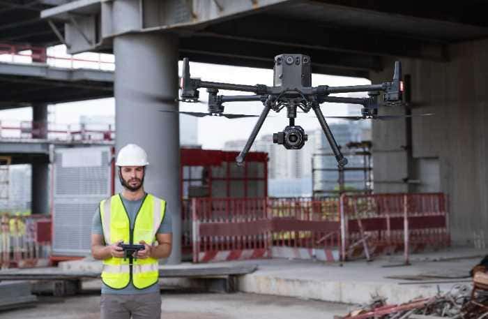
LiDAR and Photogrammetry have long been critical tools to capture data for surveying and mapping professionals, allowing them to gain a detailed understanding of areas that would otherwise be difficult or impossible to map. This data is critical for land management and urban planning uses, where the ability to reliably measure accurate distance from a piece of topographic data like a contour lines map can mean the difference between the success and failure of an enormous project years in the making.
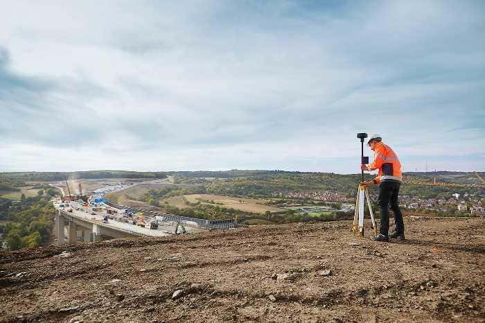
Traditional surveying methods were time intensive and laborious. Old school tools like the theodolite and transit were used to measure angles and distances between points on the survey site, which would then be plotted on a map by hand. These methods of topographic surveying would often take days just to collect the survey data, and was prone to operator error.
“Read the full blog post on Dronefly.com“


